Consolidation of Map & Compass
- Lasts 8 hours
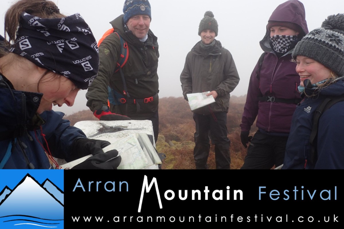
Following popular sessions in previous years, we are once again offering a mountain navigation workshop this year. This is the ‘consolidation’ session, for those who feel they have the basics of navigation but would like to practise
techniques such as bearings, pacing, timing and aspects of slope on terrain.
There is also an introductory workshop on Saturday.
Overview
Distance Approx. 10km
Highest Point Gained Potentially 826m – Beinn Tarsuinn
Total Ascent max. 850m
Walk Duration 8hrs
Terrain Rough mountain paths and steep sections; rough, pathless and potentially boggy terrain.
Technical Rating Moderate
Endurance Rating 3
Cost £25
Date Sunday 17th May 2026
Meeting Time 08:45
Meeting Place Glen Rosa (exact locations will be emailed before event)
Walk description
The session will take place in an area suitable for practising map and compass skills in a fun and hands-on way. Where it will take place will be determined by the conditions on the day, but it will be off-path for at least some of it, quite possibly in a less frequented area of Arran.
The pace will be quite slow as the focus will be on reading the landscape, comparing what can be seen on the ground and on the map, practising setting and walking on compass bearings and trying out timing and pacing as well as other mountain navigation techniques. At the end of the day, participants will hopefully feel more confident about having a go at using map and compass to navigate in the hills, an essential skill for walking in the British mountains.
This walk is organised by the Arran Mountain Festival, a Scottish Charitable Incorporated Organisation SC 052229, supported by Auchrannie Leisure Ltd.