Castles & Sail an Im
- Lasts 6 hours
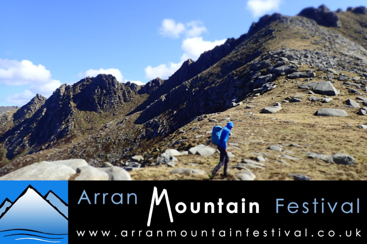
This circular route takes in Cuithe Mheadhonach, Caisteal Abhail (Castles) and the sweeping ridge of Sail an Im.
Overview
Distance 10.5km
Highest Point Gained 859m - Caisteal Abhail
Total Ascent 780m
Walk Duration 6hrs
Terrain Rough mountain paths, some pathless moorland, some steep sections.
Technical Rating Moderate
Endurance Rating 3
Cost £25
Date Saturday 16th May 2026
Meeting Time 08:15
Meeting Place North Glen Sannox car park (exact meeting point location emailed nearer event)
Walk description
The route follows the dramatically tumbling North Sannox burn, initially on a well-made path through
plantation forest, then onto open moorland and boggier ground, with the looming rocky mass of Caisteal Abhail (the Castles) dominating the skyline. North Sannox burn and a tributary are eventually crossed to strike up Cuithe
Mheadhonach, the Castles’ pathless north ridge, which affords dramatic views of the Witch’s Step ridge to the southeast.
After a final steep uphill pull through jumbles of giant granite tors, the plateau-like top of the Castles is
reached. A final clamber onto the large summit tor is rewarded with unsurpassable panoramic views, taking in the whole island and beyond. North beyond Lochranza stretches Loch Fyne, west lie Kintyre and Jura, south-west down the grand Glen Iorsa with Ireland in the distance, and to the south-east are the high tops and steep-sided ridges in the heart of Arran’s northern hills. To the south stands Cir Mhor with the high rocky ridge of A’Chir beyond.
The descent route follows the sweeping ridge of Sail an Im back down towards the plantation and start of the walk, with more spectacular views to take in along the way.
This walk is organised by the Arran Mountain Festival, a Scottish Charitable Incorporated Organisation SC052229, supported by Auchrannie Leisure Ltd.