Introduction to Map & Compass
- Lasts 8 hours
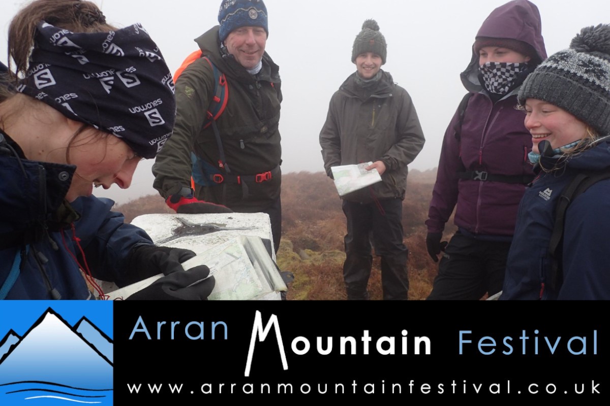
Following successful sessions in previous years, we are again offering mountain navigation workshops in 2026. This is the introductory session, a ‘consolidation’ workshop will run on Sunday.
The session may kick off with a short classroom session to cover the basics of navigation, then head out to an area suitable for practising map and compass skills in a fun and hands-on way.
Overview
Distance max. 5km
Highest Point Gained max. 250m
Total Ascent 300m
Walk Duration 8hrs
Terrain Mainly paths and shore around Cladach / Brodick Castle grounds
Technical Rating - Endurance Rating 2
Cost £25
Date Saturday 16th May 2026
Meeting Time 09:00
Meeting Place Cladach Wineport car park (exact meeting point location emailed nearer event)
Walk description
This workshop will take place in the grounds of Brodick Country Park. The pace will be relaxed, to allow lots
of time for learning.
During the day we will look at the following essential navigation techniques.
· Planning and following a route using the map.
· Relating features on the map to features on the ground.
· Setting the map using terrain features and/or the compass
· Measuring distance on the map and on the ground.
· Making basic direction decisions when walking on paths. At the end of the workshop, participants should feel much more confident about using a map to navigate using paths and linear features. This session will provide the essential building blocks for someone wanting to do the second festival navigation session.
This walk is organised by the Arran Mountain Festival, a Scottish Charitable Incorporated Organisation SC052229, supported by Auchrannie Leisure Ltd.